
Boulder County Neighbor Sources
A block lookup works by repeating a parcel check for the land units around a starting address. The county GIS map supplies shape and layers. Property Search supplies a selected parcel's account, legal description, owner and mailing fields, and reports. Treasurer adds block, lot, tract, and tax-account clues. The recorder can connect each legal description to documents. Community maps add geographic context, not private member names.
| Source | What it shows about a block | Access |
|---|---|---|
| County GIS parcel map | Adjacent parcel shapes and IDs, roads, jurisdiction, zoning, flood, wildfire, open space, precinct | Public map and layer route; exact buffer tool not described |
| Assessor Property Search | Owner and mailing fields, situs, account, parcel, legal description, neighborhood or market area | Address, owner, account, parcel, or map click |
| County Treasurer | Block, lot, range, tract, section-township-range, account and situs clues | Public help and search; some access distinctions |
| Recorder Public Search | Deed, plat, lien, and legal-description chain for each parcel | Grantor, grantee, date, type, OCR, watermarked image |
| City maps | City parcel report, planning layer, annexation, subdivision, or neighborhood context | Boulder eMapLink or Longmont GIS |
| Community maps | NECO area, coordinator, registered group, or planning label | Address-based map; no universal member roster |
A record from one row should not be stretched to answer every row. An owner field does not name every neighbor, and a neighborhood map does not certify who lives in a parcel.
Map a Boulder County Block
Begin with the exact address in the county map or Property Search. Capture the parcel ID, account, legal description, subdivision, owner and mailing display, and source date. Then inspect the surrounding shapes. The research did not document a one-click adjacent-select or buffer report, so a careful block lookup repeats the parcel selection for each neighboring land unit.
- Find the starting address through Property Search or map click.
- Open county GIS or the relevant city map and note adjacent parcel IDs and jurisdiction.
- Open each selected parcel's report, preserving the owner field, mailing field, legal description, and date.
- Use the recorder and Treasurer when a legal description, block, lot, or account is needed.
- Use a civic or historical source only for its dated geographic or historical purpose.
The City of Boulder eMapLink provides address search, parcel click, Property Report, account, parcel, owner, subdivision, and city-layer context. The capture below shows the city parcel route.
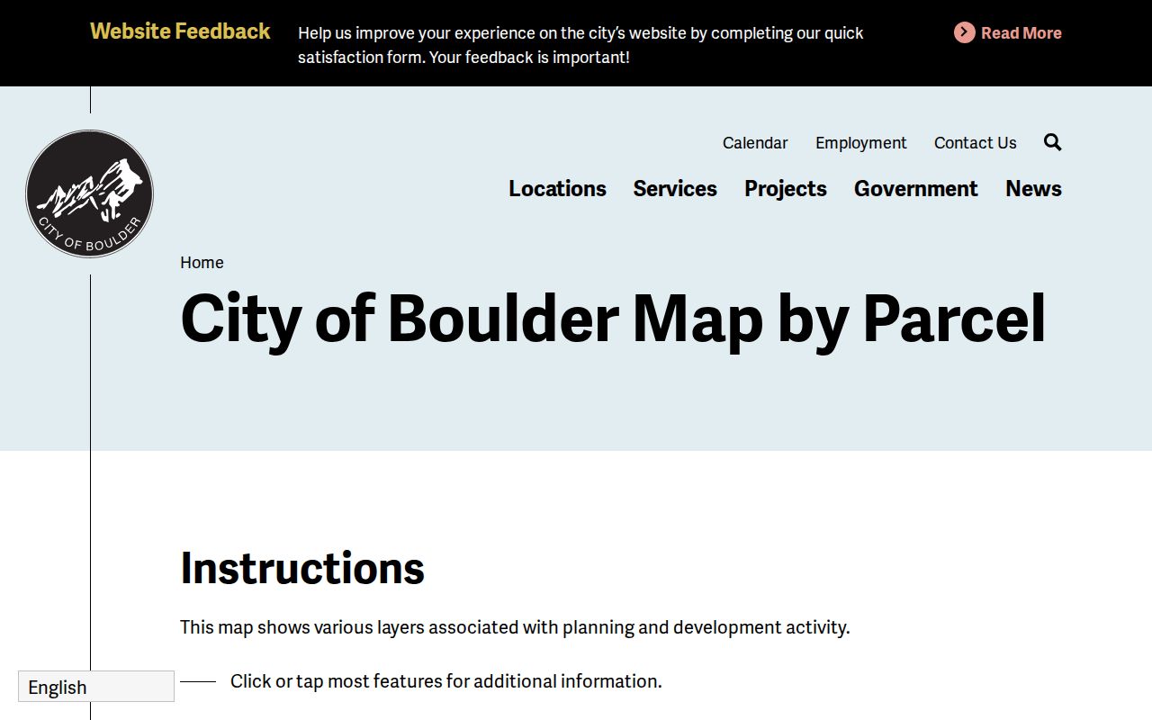
Use the map as a visual handoff, then rely on the official parcel and recorder fields for the record claim.
Boulder County Longmont GIS
Longmont's city map adds a different municipal view for neighbors in or near Longmont. The research identifies city limits and borders, facilities, zoning, annexations and subdivisions, floodplain, and planning context. That layer is useful when a block crosses a city boundary or a parcel's postal city differs from its legal municipality.
The Longmont city and GIS map route is an informational map, not a survey. Compare its municipal layer with county assessment and recorder records. A city map may show an annexation or subdivision context while a county deed still carries the legal description.
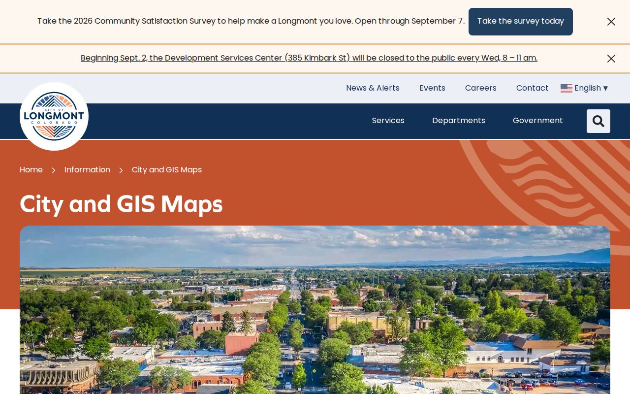
The Longmont capture belongs beside the boundary warning. One block may have county, city, postal, and planning labels that do not match.
Boulder County Block and Parcel Clues
The Treasurer help page can narrow a neighbor lookup with block, lot, range, tract, and section-township-range fields, along with account, parcel, situs, owner, and subdivision. Those terms connect a legal description to the map, but they do not name every person on a block. Use them when an address is ambiguous, a street number changed, or several parcels share a postal label.
County plats and maps are another bridge. A plat can show lots, blocks, and survey relationships. The county GIS layer can show parcel geometry and planning context, while the Recorder public search can show recorded instruments. A GIS boundary is not survey quality, and land-area estimates do not replace a licensed survey.
The Boulder County Treasurer help page gives the field set. Use the legal description, not a visual guess, when following a neighboring deed.
- Adjacent parcel
- A mapped land unit next to the starting parcel; the official text did not promise a one-click neighbor report.
- Block and lot
- Legal or subdivision references that can narrow a parcel search.
- Situs address
- The property's location, separate from a mailing address.
- Parcel ID
- A county property identifier used to reconnect maps and reports.
Deeds Between Boulder Neighbors
When a neighbor's parcel has been selected, use its legal description in the recorder index. Search grantor and grantee names separately, then narrow by date, document type, subdivision, or OCR. Deeds, deeds of trust, liens, plats, foreclosure documents, and covenants can show the recorded chain around a block.
A grantor or grantee is a recorded party, not automatically a current resident. The county recorder's office says records date to 1860, but the online index and image cutoff was not stated. Watermarked images are available through the public route; clean and certified copies have separate fee paths.
For the full named-street chain, use the Boulder County street directory. The neighbor angle should stay with the immediate parcels and their jurisdiction, not expand into an unverified list of occupants.
Boulder County Neighborhood Labels
Boulder planning uses subcommunities defined by roads, parks, and other physical boundaries. The research names Central Boulder, Crossroads, East Boulder, Gunbarrel, CU, Southeast Boulder, South Boulder, North Boulder, Palo Park, and University Hill as a working set, while a separate framework groups larger areas. These are planning labels, not all legal neighborhoods.
The city's NECO neighborhoods map can turn an address into an area or neighborhood and coordinator route. Official parking-permit materials also name areas such as East Aurora, Columbine, East Ridge, Fairview, Goss Grove, High/Sunset, Mapleton, Park East-Monroe Drive, University Heights, University Hill, West Pearl, Whittier, and Chautauqua. Those names are geographic inventory seeds, not member directories.
Store the source beside the label. A parcel can have a subdivision, market area, planning subcommunity, historic district, ZIP, postal city, and municipal jurisdiction at once.
Boulder County Community Groups
Longmont's Neighborhood Group Leaders and Associations route describes registered community groups open to residents and property owners, with a map or portal for group, activity, and funding information. It does not promise an individual member list. Boulder NECO provides an area and coordinator route, but the research did not locate a single countywide association directory covering every municipality and unincorporated place.
| Community route | What it can add | What it does not prove |
|---|---|---|
| Boulder NECO | Address-to-area or coordinator context | Individual household or member identity |
| Longmont NGLA | Registered groups, activities, map, and participation context | A public roster of all members |
| City planning label | Physical-boundary and planning context | A legal parcel line or complete neighborhood boundary |
| Historic district | Landmark and building-history lead | Current occupants or association membership |
The Longmont NGLA route is the source for the registered-group description.
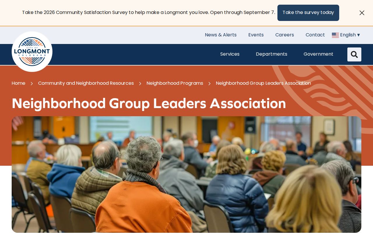
The group map gives community context without turning participation into a private household list.
Boulder County Voter Geography
Boulder County Elections products may include precinct, district, address, status, party, and election-history fields depending on the selected report. Confidential fields include Social Security number, driver-license or state-ID number, month and day of birth, signatures, email, and protected-voter information. Ballot choice is not a public household field.
Precincts and district lines change by election date. A current precinct cannot be backcast into an older election without the matching map or canvass. Address Confidentiality Program participants and protected voters must not be reverse-mapped through a block search.
Use voter geography to understand the civic area, not to claim that every nearby voter lives at a particular parcel. A separate resident lookup needs a second record type and a dated identity anchor.
Boulder County ZIPs and Neighbors
A block may carry a ZIP and postal city that differ from its municipality. 80027 is shared by Louisville and Superior. 80301 can carry Boulder and Gunbarrel context. 80503 reaches Longmont, Gunbarrel, and Niwot-area service, while mountain communities use roads and mile-point addresses that need separate verification. USPS is the route for delivery normalization, not a source for neighbor identity.
Use the USPS address lookup for the exact address, then use county or city GIS for legal geography. A ZIP code is not a neighborhood, parcel, or voter precinct.
Boulder County Official Neighbor Tools
Official records and commercial neighbor tools make different kinds of claims. The official route identifies the custodian, record date, jurisdiction, and field set. A commercial category may combine public-source data with its own matching, update, or removal process. Neither should be treated as a complete list of households around an address.
| Route | Strength | Limit |
|---|---|---|
| County GIS and assessor | Parcel, legal, owner and map context | Owner and mailing fields do not prove occupancy |
| Recorder index | Dated instruments and legal descriptions | Recorded party is not automatically a neighbor today |
| Municipal map | City boundary, planning, annexation, or subdivision context | City route does not cover county or every department |
| Community map | Area, coordinator, or registered-group context | No universal member roster |
| Commercial category | May offer a broad convenience interface | Source, date, accuracy, and lawful-use limits vary |
For a neighbor lookup, the official route is slower but more legible. Keep the source and date, and do not repeat a commercial match as an official finding.
Boulder County Neighbor Privacy Limits
A Boulder County neighbors search can map public parcels and connect them to record categories. It cannot disclose every household member, utility customer, protected voter, confidential vital record, DMV address, or ACP residence. A missing owner, voter, or group result is not proof that no neighbor exists. A planning label is not membership, and a mailing address is not occupancy.
Lawful use. Use a block lookup for personal, lawful research, civic understanding, family history, and property or document questions. Do not use Boulder County neighbor records to stalk, harass, intimidate, or harm anyone.
Limit a published result to the parcel, source, date, and public field needed for the question. If the question shifts to the full named street, use the street-level workflow. If it concerns one person, verify through a separate record and keep protected information out of the result.