
Tracing a Boulder County Street
A useful street directory result is built in layers. The assessor can identify a parcel and display an owner or mailing field. GIS can show the parcel shape, road, jurisdiction, and land-use context. The recorder can connect the legal description to grantors, grantees, deeds, liens, or plats. Elections data may add an authorized precinct or voter-file field. Historical directories and appraisal cards can show who was listed at an address in an earlier year. These records are related, but none is a complete household list.
Walk from the known address toward the strongest corroboration. Keep the exact printed street form, source date, account or parcel number, and municipality label. If a name is the starting point, use a date or town before expanding the search. If the address is the starting point, let the parcel and legal description carry the search through the recorder.
- Enter the street address or use the map in the Boulder County Assessor Property Search.
- Record the account, parcel, legal description, subdivision, owner field, mailing field, and available reports.
- Open county GIS or the relevant city map to inspect the parcel, jurisdiction, street layer, and nearby parcels.
- Search the recorder by legal description, grantor, grantee, document type, and recorded-date range.
- Use the voter route or a historical directory only for the date and field that source actually covers.
Boulder County Records by Address
The core of a Boulder County street directory is the handoff from one address-keyed record set to the next. An assessor result supplies an account and parcel. A GIS layer supplies shape and jurisdiction. A deed or plat supplies a legal description. A Treasurer search can use situs address, block, lot, tract, or section-township-range fields. A municipal planning file may add permits or land-use context. The county municipality directory helps identify when that next file belongs to a city or town. The voter record has its own privacy rules and should not be treated as a universal street roster.
| Record set | Keeper | Address clue | What it can establish |
|---|---|---|---|
| Assessor property report | Boulder County Assessor | Situs, account, parcel | Owner and mailing fields, legal description, values, reports |
| GIS parcel map | County GIS or city GIS | Parcel shape and road | Jurisdiction, zoning, flood, wildfire, roads, precinct, open space |
| Recorded instrument | Clerk & Recorder | Legal description | Grantor, grantee, date, document type, plat or lien trail |
| Tax account | County Treasurer | Situs, block, lot, tract | Account, parcel, owner-name, subdivision, and legal search clues |
| Historic address source | Carnegie or local-history archive | Printed street and year | Directory entry, appraisal card, map, Sanborn, photo, or landmark lead |
Use the same parcel identifier when possible. A street name alone can return too many results, while an address can still be ambiguous after a subdivision, annexation, or renaming. The result is strongest when the parcel, legal description, and dated source agree.
Boulder County Street Assessor Fields
The county Property Search is more than an owner-name box. It offers several alternate routes, which matters when a street number has changed or a name is spelled differently. A street-name search can broaden the result set. A map click can help when the postal address is unclear. An account or parcel search is more exact. The portal also exposes report controls that send a reader toward deeds, zoning, floodplain, and elections context.
| Field or control | Use in a street directory search |
|---|---|
| Address | Find a situs property match |
| Owner | Search the assessor owner field, which comes from deed data |
| Street name | Browse a road without a full street number |
| Subdivision | Narrow parcels by subdivision name |
| Account or parcel | Open an exact county identifier |
| S-T-R | Search section, township, and range legal geography |
| Municipality and map | Set jurisdiction context or select a parcel visually |
| Report buttons | Property, assessment, deeds, zoning, floodplain, and elections reports |
The owner field is not an occupancy flag, and the mailing address is not the same as the situs address. The research did not locate a public homestead or owner-occupancy flag in the inspected portal. For repeated parcel work, the assessor data-download route supplies a separate public-data path. Preserve the distinction in any street record note.
Boulder County Street GIS Layers
Boulder County GIS has operated since 1987 and supports assessment, parcels, planning, zoning, flood, roads, wildfire, open space, health, and precinct work. The Land Use Systems route adds comprehensive plan, land use, intergovernmental agreements, open permits, survey plats, and wildfire history. A parcel map can place a street in the county or a municipality before a request goes to the wrong custodian.
The Boulder County GIS program is the source for the public layer route. Its warnings matter: land-area estimates are not survey quality, flood layers do not show every LOMA or LOMR, and incorporated flood information may be unreliable. GIS is a research map, not a boundary survey.
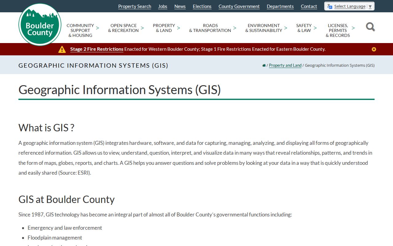
The county parcel viewer image shows why a map click helps when an address is hard to normalize. Capture the parcel ID and then return to the Property Search and recorder for record-level confirmation.
Boulder County Street Names Changed
Historical street directory work can fail when the printed road name is treated as timeless. Boulder transportation history says numbered lots and houses supported free mail by 1889, lots were numbered again in 1893, and street signs appeared in 1896. In 1902, Twelfth became Broadway and South Twentieth became Park Place during University Hill expansion. A directory, map, deed, or newspaper may use the older name.
Search the printed form first. Then add the modern form only after checking the Boulder transportation history or a municipal map. Keep both in the notes, along with the year and town label. That small crosswalk can prevent a false conclusion that an old address vanished or belongs to a different street.
Note: A historical address should be labeled “listed at” unless the source directly establishes occupancy or ownership.
Boulder County Street Land Records
The Treasurer help page accepts account number, parcel number, situs address with street name, owner name in last-name-first-name form, subdivision, block, lot, range, tract, and section-township-range information. An asterisk wildcard is also described. The owner input is not a promise of a standalone people search, and some taxpayer or title-company access distinctions may apply.
County plats and maps tie a legal description to the parcel layout. Land Use Systems can add zoning, open permits, floodplain, wildfire, and development context. Inside a city, the municipal planning custodian may hold the relevant file. Longmont's GIS and public portal are separate routes for annexations, subdivisions, boards, easements, and planning material.
The Boulder County Treasurer search help is the best field reference for a block or lot question. Use it with the Land Use Systems team when the street record needs planning context.
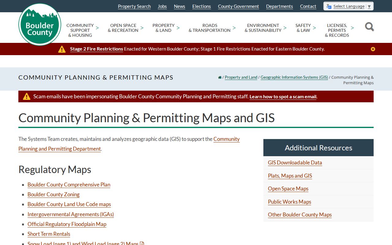
The land-use capture connects an address to planning and permit layers without turning a planning label into proof of ownership or occupancy.
Boulder County Street Deed Chains
The recorder's index turns an address search into a document trail. Search a grantor and a grantee separately, then narrow by recorded date, document type, subdivision, document number, or OCR full text. A legal description is the bridge between a deed, plat, parcel report, and neighboring parcel. Recording categories include deeds, deeds of trust, liens, foreclosure documents, plats and maps, mining claims, marriage or civil-union licenses, and UCC filings.
The public route provides free watermarked image access. Clean digital copies and certified copies have different request paths, and recording records are not the same as court records. The office says material dates to 1860, but the online index or image cutoff was not stated. Do not promise a complete digital street history.
Search details are visible at the Boulder County recorded-public-record search page. The capture below is useful because it shows the grantor-grantee and document-search route rather than a generic name list.
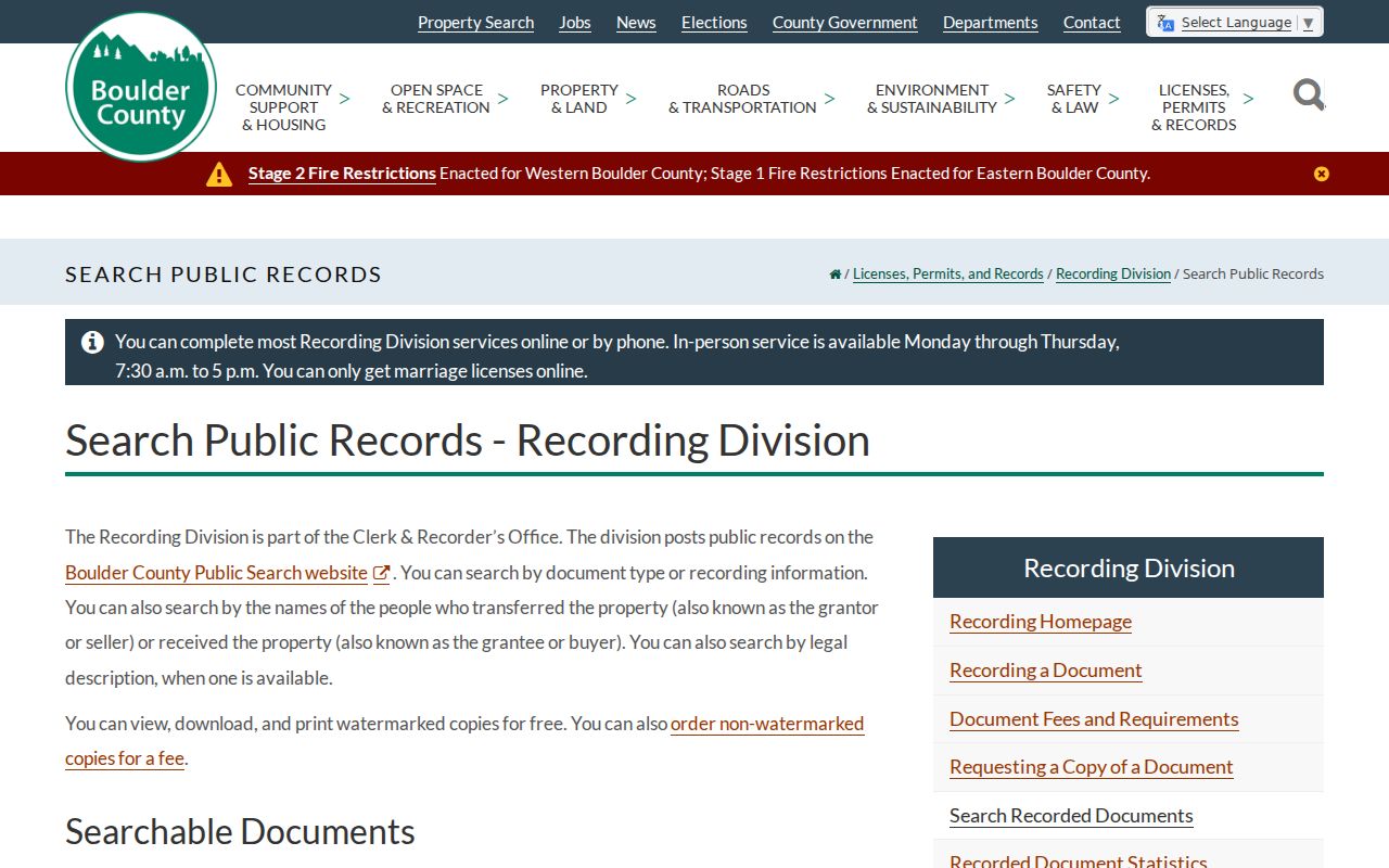
Read the instrument number, date, parties, and legal description together. A party to a deed is not automatically a current owner or a current resident.
Boulder County Historical Street Entries
The closest verified historical address tools are the Boulder Public Library directory indexes, Carnegie assessor appraisal cards, maps, Sanborn references, newspaper pages, and photographs. The Ella M. Travis collection identifies Boulder and Longmont runs beginning in 1892, a 1904 county index that includes Lafayette and Louisville, and later Boulder City index years. A separately titled reverse or criss-cross volume was not located in the inspected official pages.
For a known old address, establish the street with a map or plat, check a directory year, then compare the result with collection 880 appraisal cards from 1929 to 1965, a deed, census entry, or newspaper. The Boulder County city directory collection owns the full historical shelf and reading method. A street directory search should only borrow the address clue.
- Parcel
- A mapped land unit with an account and legal description.
- Situs address
- The property location, distinct from the mailing address.
- Plat
- A recorded map that shows lots, blocks, or survey relationships.
- Criss-cross directory
- A reverse-style directory organized by address, although a separately titled Boulder volume was not verified here.
Boulder County ZIP and Roads
Postal geography adds another address trap. USPS ZIP 80027 is shared by Louisville and Superior. Boulder-area ZIPs serve Boulder, Gunbarrel, mountain mailing areas, and special or institutional uses. Longmont, Erie, Lafayette, Lyons, Niwot, Hygiene, Jamestown, Nederland, Ward, Pinecliffe, and Rollinsville have distinct local or nearby service contexts. A postal city can differ from the legal municipality and county land-use custodian.
Mountain addressing is especially local. The county's mountain-addressing guidance describes a mile-point system in which the number approximates driveway distance from the street beginning, with even numbers on the right and odd numbers on the left. A green plate and road name help emergency response, but the number is not a survey or proof of who occupies a parcel.
Normalize delivery details through the USPS address and ZIP lookup, then return to the county parcel tools. The ZIP is a narrowing field, not the answer to a street directory question.
Limits of a Street Directory
A Boulder County street directory can connect a parcel to public fields, but it cannot reveal every person who shares an address. The assessor owner field and mailing address are not proof of occupancy. Voter products omit protected records and confidential fields. Colorado DMV personal address information is restricted under state law and the federal Driver's Privacy Protection Act. Utility customer lists and private household details are not part of the verified public trail.
Nor does an absent record prove that a person moved, died, or never lived at an address. Check the source date, municipal boundary, historical street name, and record type before drawing a conclusion. For a one-person question, shift to the Boulder County resident lookup workflow and use at least two independent clues.
Lawful use. Address and street records are for personal, lawful research. Do not use a Boulder County street directory to stalk, harass, intimidate, or repeatedly contact anyone.
Note: A parcel map can identify nearby land units, but the county did not document a one-click adjacent-parcel or buffer report.